
Pearland ZIP Code Directory Coverage
The City of Pearland ZIP map is a boundary reference, not a USPS address-validation file. It shows Pearland postal areas alongside nearby postal labels, including Houston, Manvel, Friendswood, Alvin, Fresno, and Rosharon. Current USPS material centers Pearland on 77581, 77584, and 77588. The city map also displays 77551, but that label conflicts with the current USPS evidence and must be checked with an exact-address lookup rather than treated as a valid Pearland postal assumption.
| Postal area | Area or use shown near Pearland | Postal-city evidence | Local caution |
|---|---|---|---|
| 77581 | Core Pearland postal area | Pearland USPS location at 3519 E Walnut St | Postal city and city limits are not identical. |
| 77584 | West, Silverlake, and other Pearland postal areas | Silver Lake station at 2700 Cullen Blvd | Check municipal and service overlays by exact address. |
| 77588 | Pearland postal designation in USPS label material | USPS DMM L007 lists Pearland | Confirm the current GIS polygon and USPS assignment for the address. |
| 77047 | Houston-labelled area on the city map near the edge | Houston postal city | It may touch or sit outside Pearland city limits. |
| 77048 | Adjacent Houston-labelled area | Houston postal city | Municipal boundary mismatch is possible. |
| 77053 | Adjacent Houston-labelled area | Houston postal city | Verify the city-limit and county overlay. |
| 77075 | Houston-labelled area on the map | Houston postal city | A ZIP can cover locations outside Pearland. |
| 77089 | Nearby Houston-labelled area | Houston postal city | Check city, county, and service boundaries. |
| 77511 | Alvin area shown on the map | Alvin postal city | Not a Pearland city address from the ZIP alone. |
| 77545 | Fresno area shown on the map | Fresno postal city | Adjacent postal area. |
| 77546 | Friendswood area shown on the map | Friendswood postal city | Nearby searches can be confused by the mailing city. |
| 77578 | Manvel area shown on the map | Manvel postal city | Adjacent city and Brazoria County geography. |
| 77583 | Rosharon area shown on the map | Rosharon postal city | County and ETJ proximity, not a Pearland city proxy. |
| 77551 | Label shown on the 2023 city map | Current USPS Pearland assignment was not confirmed | Verification gap: validate the exact address; do not promote this as a valid Pearland ZIP. |
Postal labels are only one layer. A person may use a Pearland mailing label while the parcel, voter record, tax record, utility district, or municipal office belongs to a different jurisdiction. Save the exact address format used by USPS before trying to match it to an official record.
Pearland Postal Address Check
The USPS location and ZIP verification tool is the first check for an address. USPS says its lookup standardizes an exact address and that database changes can take 30 to 60 days. Use the official postal result before relying on a city-map polygon. The city layer is still useful for visual context, but it is approximate and includes nearby postal areas that are not interchangeable with Pearland city limits.
The official USPS location surface is pictured here for postal verification.
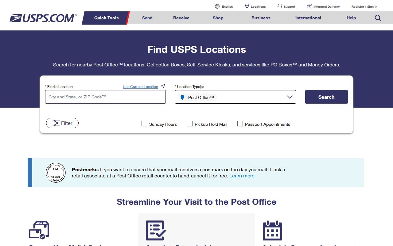
Use the result to normalize the delivery address, then retain the municipal and county checks for records work.
Do not reject an older or nearby address just because its label differs from today's city name. Pearland's original townsite grew into subdivisions, utility districts, and annexed areas. The city official annexation material records additions through 2024, and Pearland city limits approach or cross Brazoria, Harris, and Fort Bend record geographies. A parcel's date matters as much as its current postal label.
Pearland Postal Map Layer
The Pearland ZIP boundary layer contains approximate polygons with a ZIP_CODE field. It belongs beside, not ahead of, USPS validation. Turn on county lines, subdivisions, municipal utility districts, annexation ordinances, emergency-service districts, and district layers when a location sits close to an edge. Those overlays explain why one address may point to a different office than another address with a similar mailing label.
The official city ZIP boundary layer shows the municipal map context.
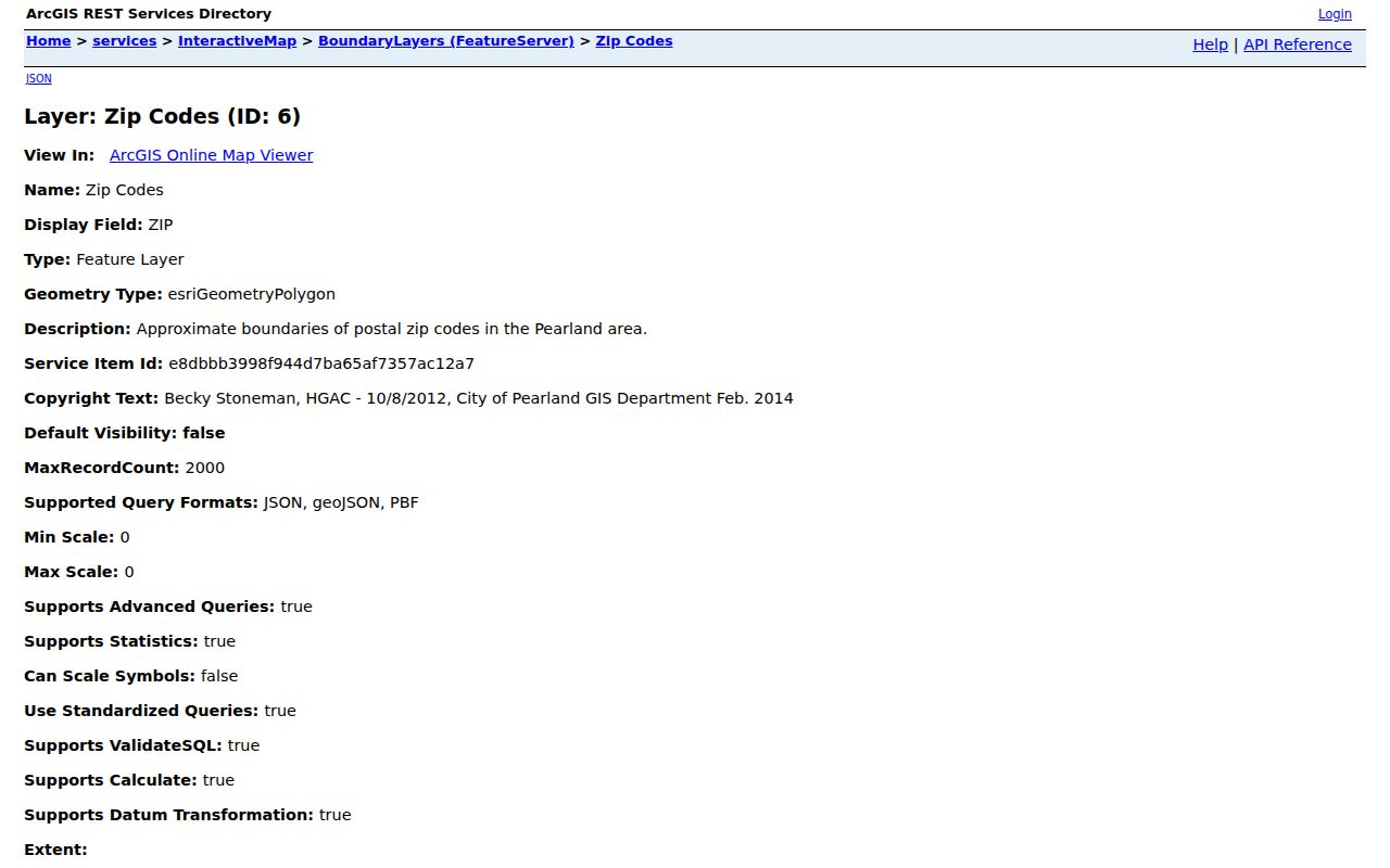
The image is a geographic aid, so verify the current postal assignment and record jurisdiction separately.
Pearland's city GIS also offers address, owner, and property-ID searching plus map layers and measurement tools. It can map a parcel to its owner link and legal description. It does not transform a postal zone into a public directory of household members. City GIS supplies geometry and context; ownership and appraisal questions belong with the appraisal district.
Pearland ZIP Search Inputs
A ZIP can narrow the Texas My Voter Portal's individual search, but the portal is not a ZIP-wide roster. Brazoria County directs voters to the state portal, where name, county, date of birth, ZIP, VUID, or a qualifying driver's-license route can help locate one registration record. The county selector is Brazoria, not Pearland. The result can contain current registration and polling information, subject to confidentiality rules, and it never reveals ballot choices.
| My Voter Portal field | Field type | Role in a Pearland search | Privacy limit |
|---|---|---|---|
| First and last name | Text | Starts an individual record search; spelling variants matter. | Does not establish identity alone. |
| County | Select | Select Brazoria for the principal county route. | A Pearland address can require a county-boundary check. |
| Date of birth | Date controls | Helps distinguish same-name voters. | Do not copy it into a public list. |
| ZIP code | Text input | Can narrow an individual lookup. | It does not create a ZIP-wide public output. |
| VUID or qualifying ID | Alternate input | Provides a direct route when lawfully available. | Driver's-license and personal-ID data are protected. |
BCAD eSearch does not publish a captured ZIP filter in its visible form. It exposes owner, street number, street name, property ID, geographic ID, subdivision, and tax-year controls. Pearland's parcel service has address ZIP result fields. Use the parcel address or identifier to reach BCAD instead of claiming the appraisal system returns a postal delivery list.
Note: A voter or parcel result answers a record-specific question, not whether every person in a ZIP resides there.
Find Pearland Records by ZIP
Use the postal directory to organize records in a small area, not to build a list of residents. Start from one standardized delivery address or a known person, then move from postal context to the parcel or individual record. This sequence helps avoid a Houston, Manvel, or Friendswood result being treated as a Pearland result merely because it is close on the map.
- Run the exact address through the USPS lookup and save the standardized postal city and ZIP result.
- Open Pearland's GIS map and compare the approximate ZIP polygon with city limits, county lines, subdivision, and annexation layers.
- Search the parcel by address, owner, or property ID, then use the resulting situs, legal description, PID, or geo_id in BCAD eSearch.
- When a lawful individual voter question remains, use the My Voter Portal with name, county, date of birth, and ZIP. Do not treat it as a public neighborhood output.
- For a street-by-street parcel trail after the area is narrowed, use the Pearland street directory workflow.
BCAD searches current appraisal information and may show owner, situs, mailing address, property identifiers, values, land use, and exemption context. The owner mailing address can be an out-of-area address or business address. The situs tells where the parcel is located. Neither is a definitive statement about everyone at the address.
Pearland Parcel and Postal Keys
USPS, BCAD, deeds, voters, permits, and 911 addressing do not use one interchangeable key. USPS standardizes delivery addresses. BCAD records a parcel's situs and separate owner mailing fields. A recorded deed follows legal description and parties. A voter record is organized around registration, while a permit links work to a case location. Keeping those keys separate prevents an incorrect merge when a map label, street spelling, or city name has changed.
- ZIP versus ZIP+4
- A ZIP identifies a postal delivery area. ZIP+4 adds a more precise delivery segment but does not change the municipal boundary.
- PO-box ZIP
- A postal code used for box delivery rather than proof of a street location.
- Unique ZIP
- A designation assigned to one organization or location; it should not be assumed from a city map without USPS confirmation.
- Carrier route
- A postal delivery sequence used to organize mail, not a legal parcel boundary or resident roster.
A legal description can use a subdivision, lot and block, survey, abstract, tract, or acreage where the postal address is absent from an older deed. The Pearland parcel service exposes legal-description fields and links to appraisal context. Preserve both the postal address and the legal description when a record trail moves from map to title record.
Pearland Postal and City Limits
A postal city name does not decide city residency, county custody, or service district. An address outside Pearland city limits can carry a Pearland mailing label, while a parcel inside or near the city can use a different USPS city or ZIP. Pearland's multi-county setting makes the distinction practical: Brazoria is the principal county, yet city limits extend toward Harris and Fort Bend. Check the city boundary, county line, appraisal district, and USPS standardized address before requesting a local record.
Map-reading rule. Use a ZIP to begin geographic orientation, then use the exact address, situs, parcel identifier, and county overlay to select the proper custodian. The 77551 label remains a verification gap, not a current Pearland postal conclusion.
This geography matters for family history, estate research, civic questions, and a move from a known address to the office that actually maintains the record. It also explains why county, tax, voting, utility, or permit results can differ on adjacent parcels. A boundary mismatch is often a normal result, not an error in the records.
Pearland Postal Geography Over Time
Pearland began around a compact rail-adjacent townsite and expanded through subdivisions and many annexations. The original 1894 plat was filed at the Brazoria courthouse and its stated bounds use current Orange, Walnut, Galveston, and Austin streets. Historic deeds may therefore use county, tract, lot, block, railroad, or nearby landmark language instead of a modern city or ZIP label. A current ZIP is a poor substitute for the geographic language recorded at the time.
The city annexation map records incorporation in 1959 and additions through 2024. The 2019 annexation-law change also affected the city's later voluntary annexations. When an older address trail stops at a city line, compare the date, plat or legal description, historical map, and county record source before assuming the person or parcel disappeared from Pearland-related research.