
Pearland Previous Residents by Era
A backward search is strongest when the source fits the era. The current parcel roll and map establish the parcel as it exists now. Recorded deeds then link owners from one transfer to the next. Earlier Brazoria County material is held on microfilm, while white pages and census schedules help distinguish an owner from a household. A permit record can date work at a location, but it does not establish a complete occupancy history. The table preserves the documented coverage and avoids turning a current web display into an unsupported historical claim.
| Record trail | Verified period | Access point | Address history use |
|---|---|---|---|
| Brazoria deed records | 1837-1886, index 1837-1894 | TSLAC or George Memorial Library reels | Early grantors, grantees, and legal descriptions. |
| Deed of trust | 1880-1887 | TSLAC reel 1007892 | Security instruments and borrower or lender context. |
| Tax rolls | 1837-1910 | TSLAC reels 102001-102004 | Taxable owners and property context. |
| Probate minutes and wills | Minutes 1837-1887, wills 1837-1886 | TSLAC microfilm | Estate and heir transfers that complicate a deed trail. |
| Greater Houston white pages | Listed Pearland-area runs, 1956-2005 | UT Austin Center for American History | Subscriber and address leads, not title proof. |
| Federal census | Released sets through 1950 | NARA, BCLS databases, and census resources | Household and street-order checkpoints. |
| Pearland permit layer | Current layer; Cityworks current from January 2025 | Pearland GIS | Issued date, case status, location, and populated party fields. |
| Current parcel roll and GIS | Current dynamic data | BCAD and Pearland GIS | Owner, situs, legal description, and parcel geometry. |
For a recent transfer, begin with BCAD and the County Clerk. For a postwar household question, use the verified white-pages run as a lead and test it against a deed or census checkpoint. For an early Old Town lot, the microfilm and legal description are more useful than a modern street number. The official County Clerk page does not state where its online index begins, so a missing web result is a reason to switch channels, not evidence that the house lacked an earlier owner.
Pearland Parcel Keys Before the Past
Use Brazoria Central Appraisal District eSearch to capture the current owner, parcel or geographic ID, situs address, subdivision, and legal description. BCAD allows owner, address, property-ID, geographic-ID, subdivision, and tax-year searches. Its street-name guidance says to leave out prefixes, suffixes, and unit numbers. Pearland’s parcel service can also return a map-linked PID, owner link, situs components, legal description, values, land-use type, and homestead field.
Keep the BCAD situs address, owner mailing address, and deed legal description in separate notes. The situs identifies where the parcel sits. A mailing address is where a tax notice is sent, and can be outside Pearland or associated with another property. A legal description uses the lot, block, subdivision, survey, abstract, tract, or acreage language that older deeds rely on. This three-key habit prevents a mail destination from being presented as a place where someone lived.
Note: A homestead flag may support an owner-occupancy inference, but it is not a list of residents or proof that a person currently occupies the property.
Pearland Previous Residents and Deed Chains
The deed chain answers the ownership part of a past-residents question. Start from the current owner and legal description, then use the Brazoria County Clerk Recording Department route to the county-linked Tyler public-records entry point. The official instructions treat the online database as a convenience database, not the official or complete repository. Some functions may require an account, and the live form fields were not fully exposed in the official static material.
- Save the present owner, PID, subdivision, and legal description from BCAD or the city parcel map.
- Search the present owner as a grantee, or use the legal description when the entry point supports it. Open the purchase instrument and note its number, date, grantor, grantee, volume or page reference, and description.
- Search that grantor as a prior grantee. Compare the legal description before treating it as the same parcel, especially when the name is common.
- Repeat the transfer-to-transfer sequence. When a street address disappears, search the lot and block, subdivision, survey, abstract, tract, or acreage wording instead.
- When the web search ends, use the Angleton public terminal or counter, request copies from the Recording Department, or consult TSLAC microfilm.
- Grantor
- The person or entity transferring an interest in a recorded instrument.
- Grantee
- The person or entity receiving that interest. The next backward step often searches a seller as an earlier grantee.
- Chain of title
- A linked sequence of transfers for the same parcel, checked by legal description rather than name alone.
- Legal description
- The lot, block, subdivision, survey, abstract, tract, or acreage identifier used to tie older records to the same land.
The County Clerk supplies copies at $1 per page, with certified copies adding $5 per document, according to the recorded-property instructions. A certified copy must come from the original custodian. A microfilm image is valuable for research, but it is not a substitute for certification when that is needed.
Pearland Deed Records Beyond the Web
The Texas State Library and Archives Commission Brazoria inventory lists the older routes precisely enough to plan a visit or request. Deed Record reels 1007876 through 1007891 cover volumes A through X for 1837-1886, and reel 1007875 indexes deeds from 1837-1894. The same inventory identifies Spanish deed material from 1831-1893, a deed-of-trust reel for 1880-1887, probate minutes and wills, marriage material, and tax rolls.
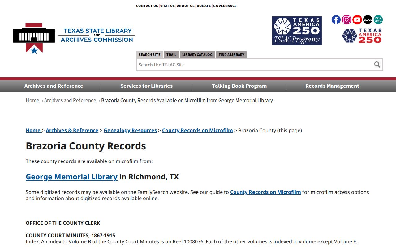
The inventory image is a planning aid for a past-residents search. Record the reel, volume, page or image, record date, and index term so a later search can be repeated. TSLAC notes that a certified copy still comes from the custodian holding the original record.
For direct help at the county level, the Recording Department is at 237 E Locust, Suite 102, in Angleton, with public computers for access help. The Pearland County Clerk substation is another local access option, but official county material shows two different phone numbers for it, so confirm the current number before relying on it.
Pearland Past Residents in Directory Years
Owners are only one layer of an address history. The strongest verified local telephone directory bridge is the Greater Houston Residence White Pages catalog at UT Austin, covering listed Pearland and Brazoria County runs from 1956 through 2005. It is a subscriber and address source, not a complete census of a block. A missing listing can reflect an unlisted number, a rural route, a spouse-name convention, or a gap in the run.
To investigate a particular edition, start with the Pearland Directory Book, where the historical collection routes are separated from the property trail. TSLAC reports onsite access to Ancestry’s U.S. City Directories collection for 1822-1995, and BCLS lists library research databases and staff help. Exact Pearland directory, obituary, microfilm, and reverse-directory holdings are not published by BCLS, so ask for a specific year and publisher rather than assuming a volume is on a local shelf.
- Record the exact address, subscriber spelling, edition date, and page from the latest permitted directory or white-pages year.
- Move backward through available editions and log address continuity, initials, spouse notation, phone changes, and cross-references.
- Use federal census checkpoints for 1900, 1910, 1920, 1930, 1940, and 1950. Census street addresses can be imprecise, so compare street order, nearby households, and the enumeration district.
- Where a directory break appears, test tax rolls, probate, marriage, cemetery, and deed material before deciding that a household left.
Note: The 72-year release rule made 1950 the latest publicly released decennial census in 2022, while later census schedules remain unavailable for this purpose.
Old Town Pearland Address Records
Old Town needs a different starting point. The original Pearland townsite plat was filed at the Brazoria courthouse in 1894 and was bounded by current Orange, Walnut, Galveston, and Austin streets. Early records may use a lot, block, tract, or railroad reference instead of the modern mailing address. The original street grid is therefore a geographic bridge between a historic description and the current parcel map.
UNT’s Pearland quadrangle record provides map context for checking the landscape and historical place names around a property.
The map does not name prior occupants, but it can help reconcile a deed description with a street, institution, or neighborhood that has changed over time. Pearland’s city limits grew through many annexations, so a historical address may have been rural or outside city limits when the record was created.
Pearland House History Record Gaps
Pearland’s public permit layer can add a current construction chronology through issued date, status, location, case number, applicant, and property-owner fields when populated. Cityworks became the current permit and inspection route in January 2025, but the official material does not state the public historical permit coverage start year. Permit data can date recorded work or a case, not every change to a house and not every person who occupied it.
The Library of Congress Sanborn search guide explains how to search its fire-insurance-map collections.
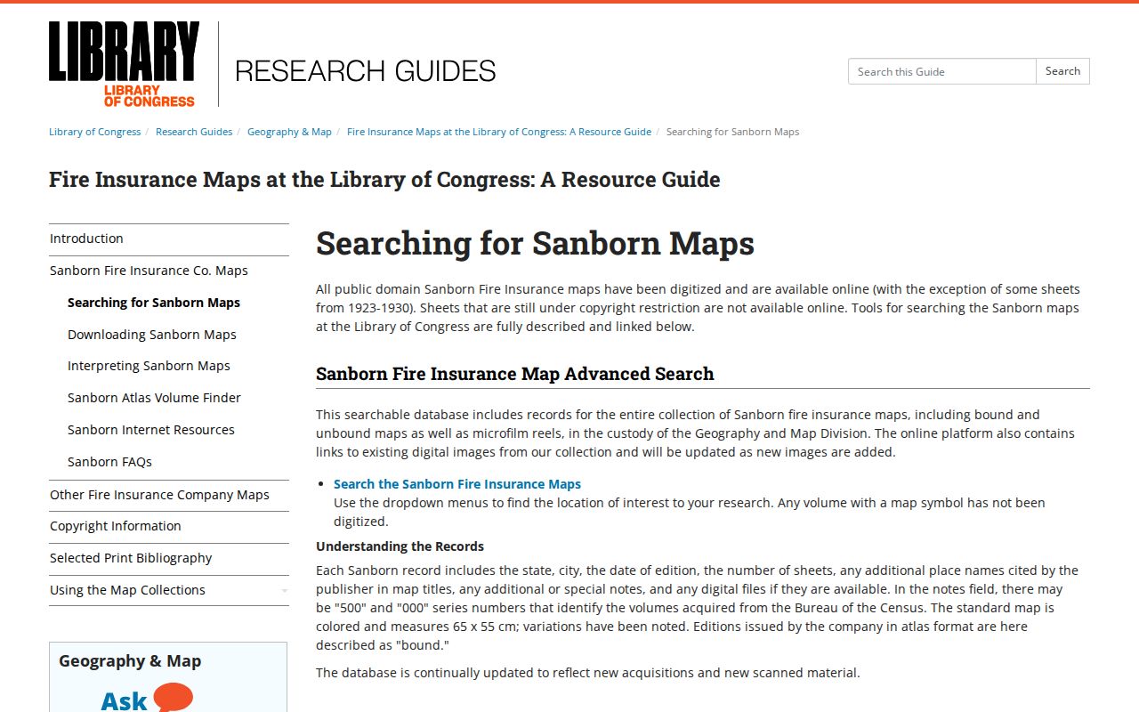
No Pearland-specific Sanborn title or year run was located in the official research. Treat the guide as a search path, not as proof that a Pearland Sanborn map exists. BCLS and local-history groups may instead help locate photographs, newspaper references, yearbooks, or plat material for a particular address.
Pearland Former Residents and Local Help
The human-assisted route matters when an address trail reaches a death, a cemetery, or an old family record. The Brazoria County Historical Museum research center holds genealogical, photographic, and county people-and-place files. Its cemetery database covers more than 23,000 interments in 140 county cemeteries. The former online 300 database was removed for privacy, but Museum staff continue to answer cemetery and genealogy questions by email or phone.
The BCLS Pearland branch listing identifies Tom Reid Library and its reference route for a focused request about a year, publisher, obituary index, newspaper reel, or house-history lead.
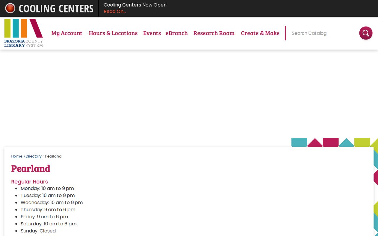
The branch listing supports a practical next step when online clues run out. Genealogy material and microfilm may not be available through interlibrary loan, so an onsite visit or a staff-mediated copy request can be necessary.
Old Settler’s Cemetery can supply another endpoint for an early household. The city describes it as the main burial ground until 1936, with links to cemetery rubbings, census material, and veteran plots, but no city-hosted searchable interment index was found.
Pearland Previous Residents Use Boundaries
A past-residents trail is best used for house history, family history, estate and heir research, or civic curiosity. It is not a way to build a profile of a living household. Property rolls identify parcels and owners, but do not list every person connected with an address. Permit applicants can be contractors. A directory subscriber is not automatically the owner, and a missing record is not proof of absence.
Lawful use. Use Pearland house-history records for personal, lawful research. Do not use a public trail to contact, track, threaten, or harass a living person, and do not seek protected addresses.
Texas protections can suppress voter and address data for qualifying people, including Address Confidentiality Program participants and protected voters. Utility customer records, protected identifiers, and private association rosters are not public household evidence. If a record appears wrong, ask the office that created it about its correction or confidentiality procedure.